
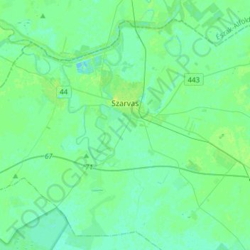
Hirschfeld topographic map
Interactive map
Click on the map to display elevation.
About this map
Name: Hirschfeld topographic map, elevation, terrain.
Average elevation: 272 ft
Minimum elevation: 259 ft
Maximum elevation: 295 ft
Other topographic maps
Click on a map to view its topography, its elevation and its terrain.
Tschabe
Tschabe, Békéscsabai járás, Komitat Békés, Südliche Tiefebene, Nördliche Große Tiefebene, Ungarn
Average elevation: 285 ft
Hirschfeld
Ungarn > Komitat Békés > Hirschfeld > Hirschfeld
Hirschfeld, Szarvasi járás, Komitat Békés, Südliche Große Tiefebene, Nördliche Große Tiefebene, 5540, Ungarn
Average elevation: 272 ft