
Ellenbrook topographic map
Interactive map
Click on the map to display elevation.
About this map
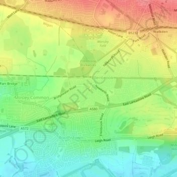
Name: Ellenbrook topographic map, elevation, terrain.
Average elevation: 174 ft
Minimum elevation: 62 ft
Maximum elevation: 299 ft
Other topographic maps
Click on a map to view its topography, its elevation and its terrain.
Irlam
United Kingdom > England > Salford
Irlam, Salford, Greater Manchester, England, M44 6NT, United Kingdom
Average elevation: 69 ft