
22 de Febrero topographic map
Interactive map
Click on the map to display elevation.
About this map
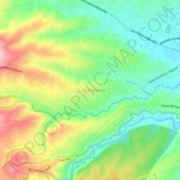
Name: 22 de Febrero topographic map, elevation, terrain.
Location: 22 de Febrero, Nicolás Romero, 54435, México (19.59299 -99.36861 19.63299 -99.32861)
Average elevation: 8,094 ft
Minimum elevation: 7,795 ft
Maximum elevation: 8,547 ft
Other topographic maps
Click on a map to view its topography, its elevation and its terrain.