
Nakorokula topographic map
Interactive map
Click on the map to display elevation.
About this map
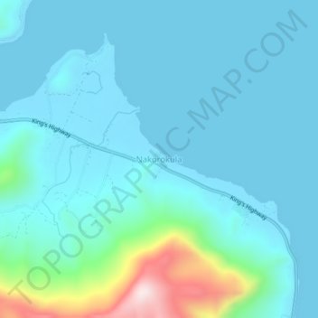
Name: Nakorokula topographic map, elevation, terrain.
Location: Nakorokula, Ra, Western, Fiji (-17.37292 178.20909 -17.33292 178.24909)
Average elevation: 236 ft
Minimum elevation: 0 ft
Maximum elevation: 1,693 ft