
Burgui topographic map
Interactive map
Click on the map to display elevation.
About this map
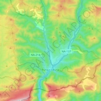
Name: Burgui topographic map, elevation, terrain.
Location: Burgui, Pirineo, 31412, España (42.69916 -1.05229 42.77672 -0.92334)
Average elevation: 2,881 ft
Minimum elevation: 1,906 ft
Maximum elevation: 4,619 ft
Other topographic maps
Click on a map to view its topography, its elevation and its terrain.