
Great River topographic map
Interactive map
Click on the map to display elevation.
About this map
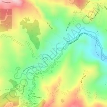
Name: Great River topographic map, elevation, terrain.
Location: Great River, Grenada (12.11812 -61.67685 12.13085 -61.65524)
Average elevation: 669 ft
Minimum elevation: 249 ft
Maximum elevation: 1,161 ft
Other topographic maps
Click on a map to view its topography, its elevation and its terrain.