
辺野古岳 topographic map
Interactive map
Click on the map to display elevation.
About this map
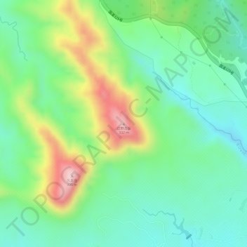
Name: 辺野古岳 topographic map, elevation, terrain.
Average elevation: 469 ft
Minimum elevation: 144 ft
Maximum elevation: 1,050 ft
Other topographic maps
Click on a map to view its topography, its elevation and its terrain.
Okinawa Prefecture
Japan > Kyushu Region > Nago
Okinawa Prefecture, 県道18号, Nago, Okinawa Prefecture, Kyushu Region, 905-2266, Japan
Average elevation: 456 ft