
Mount Cameroon topographic map
Interactive map
Click on the map to display elevation.
About this map
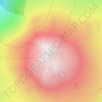
Name: Mount Cameroon topographic map, elevation, terrain.
Location: Mount Cameroon, Meme, Southwest, Cameroon (4.21798 9.17331 4.21808 9.17341)
Average elevation: 11,959 ft
Minimum elevation: 9,327 ft
Maximum elevation: 13,189 ft
The mountain's natural vegetation varies with elevation. The main plant communities on the mountain include: