
Piriápolis topographic map
Interactive map
Click on the map to display elevation.
About this map
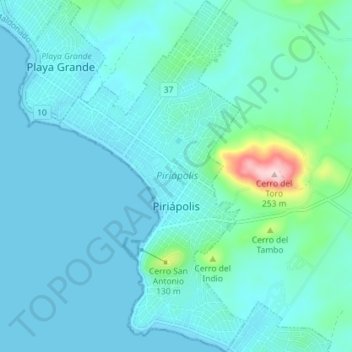
Name: Piriápolis topographic map, elevation, terrain.
Location: Piriápolis, Maldonado, 20200, Uruguay (-34.89328 -55.29706 -34.83457 -55.25841)
Average elevation: 102 ft
Minimum elevation: -3 ft
Maximum elevation: 823 ft