
Heverlee topographic map
Interactive map
Click on the map to display elevation.
About this map
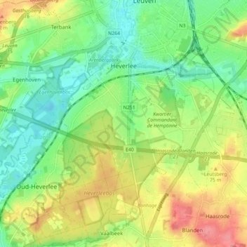
Name: Heverlee topographic map, elevation, terrain.
Location: Heverlee, Leuven, Flemish Brabant, Flanders, 3001, Belgium (50.82421 4.64030 50.87922 4.72768)
Average elevation: 161 ft
Minimum elevation: 52 ft
Maximum elevation: 318 ft