
Wittenberge topographic map
Interactive map
Click on the map to display elevation.
About this map
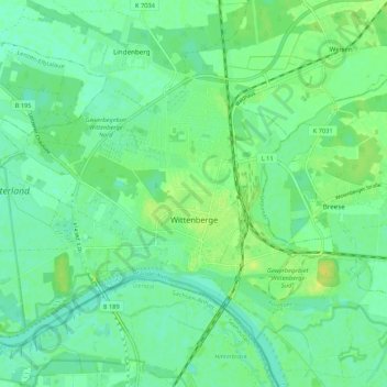
Name: Wittenberge topographic map, elevation, terrain.
Location: Wittenberge, Prignitz, Brandenburg, 19322, Duitsland (52.97731 11.68357 53.02801 11.79033)
Average elevation: 75 ft
Minimum elevation: 49 ft
Maximum elevation: 118 ft