
Panoma topographic map
Interactive map
Click on the map to display elevation.
About this map
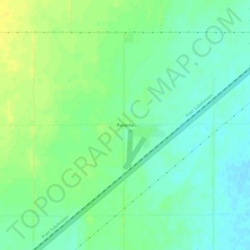
Name: Panoma topographic map, elevation, terrain.
Location: Panoma, Texas, Oklahoma, 73945, United States (36.81392 -101.27961 36.85392 -101.23961)
Average elevation: 3,012 ft
Minimum elevation: 2,979 ft
Maximum elevation: 3,051 ft