
Langstone Harbour topographic map
Interactive map
Click on the map to display elevation.
About this map
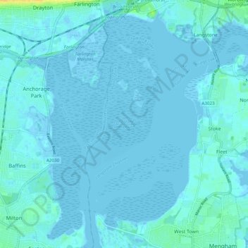
Name: Langstone Harbour topographic map, elevation, terrain.
Average elevation: 7 ft
Minimum elevation: -16 ft
Maximum elevation: 75 ft
Other topographic maps
Click on a map to view its topography, its elevation and its terrain.
North Lake
United Kingdom > England > Havant
North Lake, Havant, Hampshire, South East, England, PO9 1TJ, United Kingdom
Average elevation: 3 ft