
Okuma topographic map
Interactive map
Click on the map to display elevation.
About this map
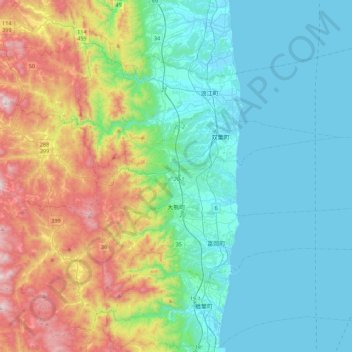
Name: Okuma topographic map, elevation, terrain.
Location: Okuma, Futaba County, Fukushima Prefecture, Japan (37.37208 140.85370 37.45020 141.29444)
Average elevation: 735 ft
Minimum elevation: -3 ft
Maximum elevation: 2,854 ft
Other topographic maps
Click on a map to view its topography, its elevation and its terrain.
Namie
Namie, Futaba County, Fukushima Prefecture, 979-1513, Japan
Average elevation: 617 ft