
Pekela topographic map
Interactive map
Click on the map to display elevation.
About this map
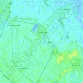
Name: Pekela topographic map, elevation, terrain.
Location: Pekela, Groningen, Netherlands, The Netherlands (53.01386 6.90550 53.11920 7.04266)
Average elevation: 10 ft
Minimum elevation: -10 ft
Maximum elevation: 33 ft