
Neraks topographic map
Interactive map
Click on the map to display elevation.
About this map
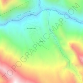
Name: Neraks topographic map, elevation, terrain.
Location: Neraks, Kargil District, Jammu and Kashmir, India (33.85792 76.90616 33.89792 76.94616)
Average elevation: 12,618 ft
Minimum elevation: 10,820 ft
Maximum elevation: 15,564 ft