
Lysefjord topographic map
Interactive map
Click on the map to display elevation.
About this map
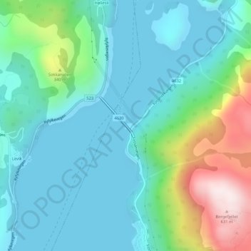
Name: Lysefjord topographic map, elevation, terrain.
Location: Lysefjord, Lysefjordbrua, Forsand, Rogaland, 4110, Norway (58.92220 6.10065 58.92230 6.10075)
Average elevation: 466 ft
Minimum elevation: 0 ft
Maximum elevation: 2,060 ft