
Whitney Peak topographic map
Interactive map
Click on the map to display elevation.
About this map
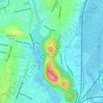
Name: Whitney Peak topographic map, elevation, terrain.
Average elevation: 62 ft
Minimum elevation: -13 ft
Maximum elevation: 325 ft
Other topographic maps
Click on a map to view its topography, its elevation and its terrain.
Lake Whitney
United States > Connecticut > South Central COG > Hamden
Lake Whitney, Hamden, South Central COG, Connecticut, United States
Average elevation: 82 ft