
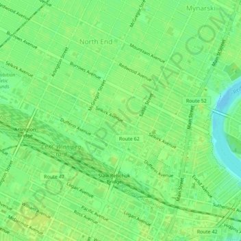
Powers/Selkirk Park topographic map
Interactive map
Click on the map to display elevation.
About this map
Name: Powers/Selkirk Park topographic map, elevation, terrain.
Average elevation: 768 ft
Minimum elevation: 738 ft
Maximum elevation: 781 ft
Other topographic maps
Click on a map to view its topography, its elevation and its terrain.
Tuxedo Industrial
Tuxedo Industrial, Winnipeg, Manitoba, Canada
Average elevation: 771 ft
Assiniboine Park
Assiniboine Park, Deer Lodge, Saint James, Winnipeg, Manitoba, Canada
Average elevation: 778 ft