
Biwa Lake topographic map
Interactive map
Click on the map to display elevation.
About this map
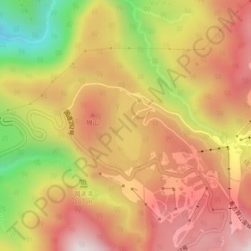
Name: Biwa Lake topographic map, elevation, terrain.
Average elevation: 4,488 ft
Minimum elevation: 2,923 ft
Maximum elevation: 5,564 ft
Other topographic maps
Click on a map to view its topography, its elevation and its terrain.
Yamanouchi
Japan > Chubu Region > Yamanouchi
Yamanouchi, Shimotakai County, Nagano Prefecture, Chubu Region, 3810401, Japan
Average elevation: 2,382 ft