
Bayfield River topographic map
Interactive map
Click on the map to display elevation.
About this map
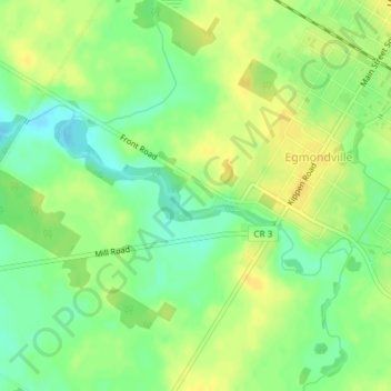
Name: Bayfield River topographic map, elevation, terrain.
Average elevation: 1,004 ft
Minimum elevation: 958 ft
Maximum elevation: 1,037 ft
Other topographic maps
Click on a map to view its topography, its elevation and its terrain.
Brussels
Canada > Ontario > Huron East > Brussels
Brussels, Huron East, Huron County, Southwestern Ontario, Ontario, N0G 1H0, Canada
Average elevation: 1,132 ft