
Munda topographic map
Interactive map
Click on the map to display elevation.
About this map
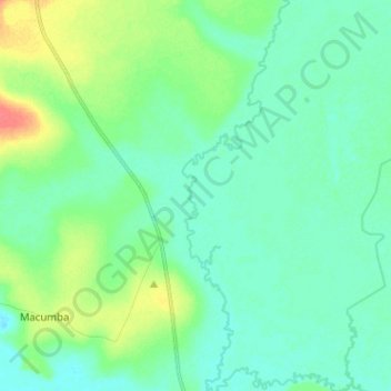
Name: Munda topographic map, elevation, terrain.
Location: Munda, Malanje, Angola (-10.52354 17.48758 -10.39842 17.52234)
Average elevation: 3,570 ft
Minimum elevation: 3,530 ft
Maximum elevation: 3,681 ft
Other topographic maps
Click on a map to view its topography, its elevation and its terrain.