
Stocks Reservoir topographic map
Interactive map
Click on the map to display elevation.
About this map
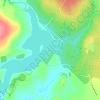
Name: Stocks Reservoir topographic map, elevation, terrain.
Average elevation: 676 ft
Minimum elevation: 558 ft
Maximum elevation: 922 ft
Other topographic maps
Click on a map to view its topography, its elevation and its terrain.
Großbritannien
Vereinigtes Königreich > England > Ribble Valley
Großbritannien, Ribble Valley, Lancs, Nordwestengland, England, Vereinigtes Königreich
Average elevation: 171 ft