
Warsaw topographic map
Interactive map
Click on the map to display elevation.
About this map
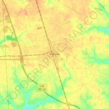
Name: Warsaw topographic map, elevation, terrain.
Location: Warsaw, Duplin County, North Carolina, 28398, USA (34.98182 -78.14858 35.01579 -78.00863)
Average elevation: 144 ft
Minimum elevation: 75 ft
Maximum elevation: 180 ft