
Kasha topographic map
Interactive map
Click on the map to display elevation.
About this map
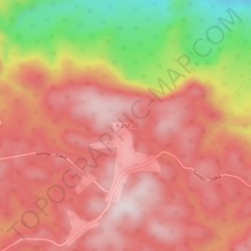
Name: Kasha topographic map, elevation, terrain.
Location: Kasha, Keffa, Southern Nations, Ethiopia (7.42825 36.14660 7.46825 36.18660)
Average elevation: 5,722 ft
Minimum elevation: 4,688 ft
Maximum elevation: 6,260 ft