
Abdullahpur topographic map
Interactive map
Click on the map to display elevation.
About this map
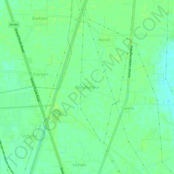
Name: Abdullahpur topographic map, elevation, terrain.
Location: Abdullahpur, Karnal, Haryana, India (29.72996 76.96413 29.76996 77.00413)
Average elevation: 827 ft
Minimum elevation: 807 ft
Maximum elevation: 837 ft