
Mount Jim topographic map
Interactive map
Click on the map to display elevation.
About this map
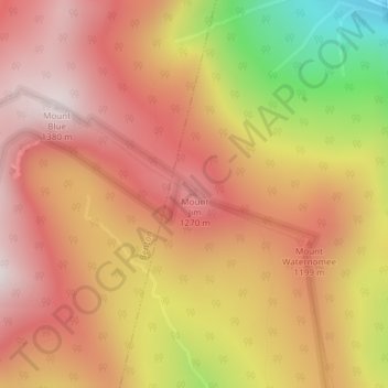
Name: Mount Jim topographic map, elevation, terrain.
Location: Mount Jim, Woodstock, Grafton County, New Hampshire, USA (44.02474 -71.80708 44.02484 -71.80698)
Average elevation: 3,530 ft
Minimum elevation: 1,804 ft
Maximum elevation: 4,511 ft
Other topographic maps
Click on a map to view its topography, its elevation and its terrain.
Lost River
USA > New Hampshire > Woodstock
Lost River, Woodstock, Grafton County, New Hampshire, 03262, USA
Average elevation: 2,060 ft