
Borovets topographic map
Interactive map
Click on the map to display elevation.
About this map
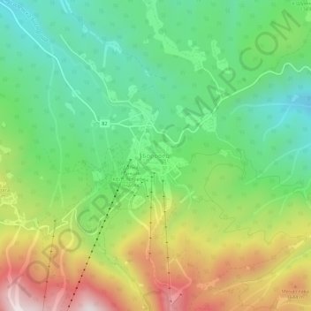
Name: Borovets topographic map, elevation, terrain.
Location: Borovets, Samokov, Sofia, 2010, Bulgaria (42.24683 23.58743 42.28683 23.62743)
Average elevation: 4,573 ft
Minimum elevation: 3,622 ft
Maximum elevation: 6,135 ft
Other topographic maps
Click on a map to view its topography, its elevation and its terrain.