
Santesteban topographic map
Interactive map
Click on the map to display elevation.
About this map
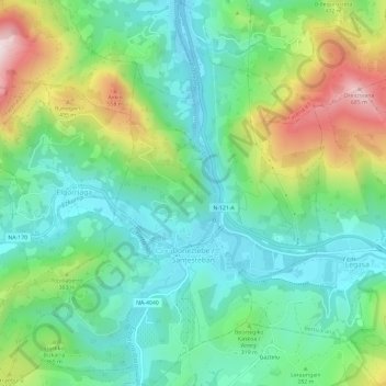
Name: Santesteban topographic map, elevation, terrain.
Location: Santesteban, Baztan-Bidasoa, Navarra, España (43.11681 -1.69746 43.15968 -1.64933)
Average elevation: 935 ft
Minimum elevation: 338 ft
Maximum elevation: 2,277 ft