
Emlembe topographic map
Interactive map
Click on the map to display elevation.
About this map
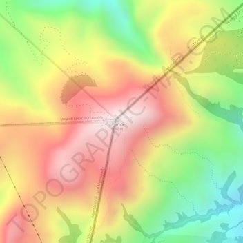
Name: Emlembe topographic map, elevation, terrain.
Location: Emlembe, Inkhundla Piggs Peak, Hhohho, Eswatini (-25.92144 31.12726 -25.92134 31.12736)
Average elevation: 5,072 ft
Minimum elevation: 3,766 ft
Maximum elevation: 6,099 ft
Other topographic maps
Click on a map to view its topography, its elevation and its terrain.
Maguga Dam
Maguga Dam, Inkhundla Nkhaba, Hhohho, Eswatini
Average elevation: 2,123 ft