
Shahriyar topographic map
Interactive map
Click on the map to display elevation.
About this map
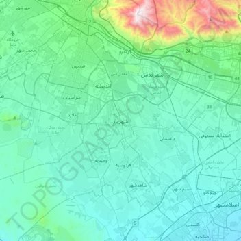
Name: Shahriyar topographic map, elevation, terrain.
Location: Shahriyar, Shahriar County, Tehran Province, 111111, Iran (35.49890 50.89860 35.81890 51.21860)
Average elevation: 4,032 ft
Minimum elevation: 3,356 ft
Maximum elevation: 8,360 ft