
Ortstock topographic map
Interactive map
Click on the map to display elevation.
About this map
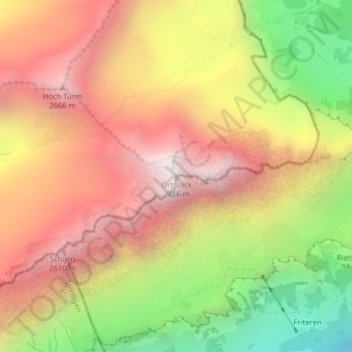
Name: Ortstock topographic map, elevation, terrain.
Location: Ortstock, Muotathal, Schwyz, Svitto, 6436, Svizzera (46.92536 8.94815 46.92546 8.94825)
Average elevation: 6,788 ft
Minimum elevation: 4,114 ft
Maximum elevation: 8,901 ft
Other topographic maps
Click on a map to view its topography, its elevation and its terrain.