
Conception Island topographic map
Interactive map
Click on the map to display elevation.
About this map
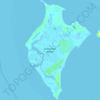
Name: Conception Island topographic map, elevation, terrain.
Location: Conception Island, Rum Cay, The Bahamas (23.80714 -75.12965 23.85589 -75.09417)
Average elevation: 3 ft
Minimum elevation: -10 ft
Maximum elevation: 72 ft
Other topographic maps
Click on a map to view its topography, its elevation and its terrain.