
Poprad topographic map
Interactive map
Click on the map to display elevation.
About this map
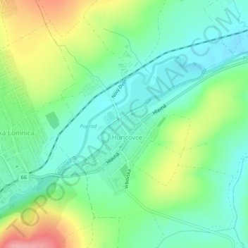
Name: Poprad topographic map, elevation, terrain.
Average elevation: 2,169 ft
Minimum elevation: 2,044 ft
Maximum elevation: 2,421 ft
Other topographic maps
Click on a map to view its topography, its elevation and its terrain.
Lendak
Slovakia > Region of Prešov > District of Kežmarok > Lendak
Lendak, District of Kežmarok, Region of Prešov, Eastern Slovakia, 059 07, Slovakia
Average elevation: 2,631 ft