
Heartwellville topographic map
Interactive map
Click on the map to display elevation.
About this map
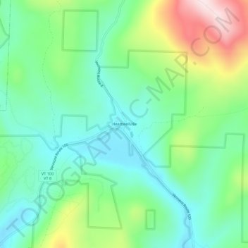
Name: Heartwellville topographic map, elevation, terrain.
Location: Heartwellville, Bennington County, Vermont, 05350-9513, USA (42.80980 -73.00760 42.84980 -72.96760)
Average elevation: 2,126 ft
Minimum elevation: 1,706 ft
Maximum elevation: 3,081 ft