
Merthyr Tydfil topographic map
Interactive map
Click on the map to display elevation.
About this map
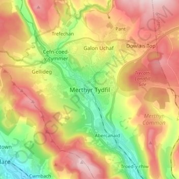
Name: Merthyr Tydfil topographic map, elevation, terrain.
Average elevation: 1,027 ft
Minimum elevation: 384 ft
Maximum elevation: 1,739 ft
Other topographic maps
Click on a map to view its topography, its elevation and its terrain.
Aberfan
United Kingdom > Wales > Merthyr Tydfil County Borough > Aberfan
Aberfan, Merthyr Tydfil County Borough, Wales, CF48 4PR, United Kingdom
Average elevation: 886 ft