Mt. Tsurugi topographic map
Interactive map
Click on the map to display elevation.
About this map
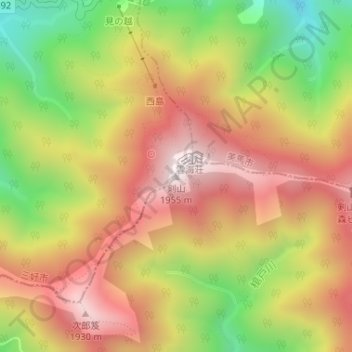
Name: Mt. Tsurugi topographic map, elevation, terrain.
Average elevation: 5,197 ft
Minimum elevation: 3,747 ft
Maximum elevation: 6,391 ft

Click on the map to display elevation.
Name: Mt. Tsurugi topographic map, elevation, terrain.
Average elevation: 5,197 ft
Minimum elevation: 3,747 ft
Maximum elevation: 6,391 ft