
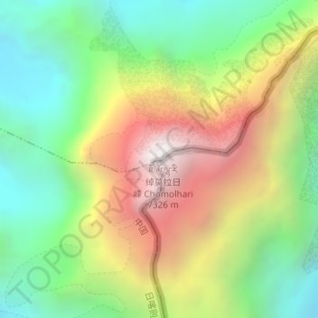
Jomolhari topographic map
Interactive map
Click on the map to display elevation.
About this map
Name: Jomolhari topographic map, elevation, terrain.
Location: Jomolhari, Tüna, Yadong County, Shigatse, Tibet, PRC (27.82737 89.26737 27.82747 89.26747)
Average elevation: 20,482 ft
Minimum elevation: 18,041 ft
Maximum elevation: 23,937 ft