
Top of the World Provincial Park topographic map
Interactive map
Click on the map to display elevation.
About this map
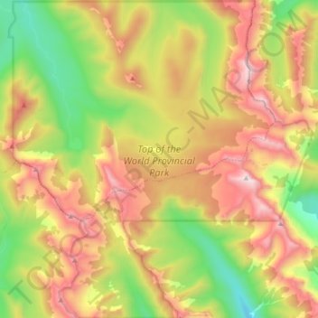
Name: Top of the World Provincial Park topographic map, elevation, terrain.
Location: Top of the World Provincial Park, Fernie, Canada (49.78815 -115.47874 49.89486 -115.31975)
Average elevation: 6,880 ft
Minimum elevation: 4,806 ft
Maximum elevation: 9,213 ft