
Yalu River topographic map
Interactive map
Click on the map to display elevation.
About this map
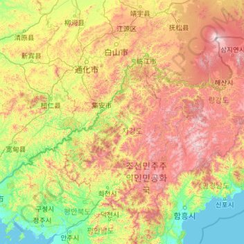
Name: Yalu River topographic map, elevation, terrain.
Location: Yalu River, Manpo, Chagang, North Korea (39.97067 124.33414 41.98114 128.31201)
Average elevation: 2,172 ft
Minimum elevation: -3 ft
Maximum elevation: 8,691 ft