
Toudgha El Oulia تودغى العليا topographic map
Interactive map
Click on the map to display elevation.
About this map
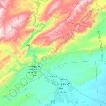
Name: Toudgha El Oulia تودغى العليا topographic map, elevation, terrain.
Average elevation: 5,499 ft
Minimum elevation: 3,973 ft
Maximum elevation: 8,127 ft