
Paektu Mountain topographic map
Interactive map
Click on the map to display elevation.
About this map
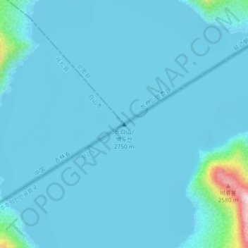
Name: Paektu Mountain topographic map, elevation, terrain.
Location: Paektu Mountain, Samjiyon County, Ryanggang, North Korea (42.00721 128.05635 42.00731 128.05645)
Average elevation: 7,241 ft
Minimum elevation: 7,165 ft
Maximum elevation: 8,356 ft
Other topographic maps
Click on a map to view its topography, its elevation and its terrain.
Samjiyon
North Korea > Ryanggang > Samjiyon
Samjiyon, Samjiyon County, Ryanggang, North Korea
Average elevation: 4,636 ft