
Lötzen topographic map
Interactive map
Click on the map to display elevation.
About this map
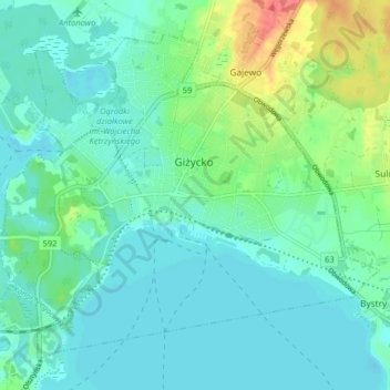
Name: Lötzen topographic map, elevation, terrain.
Location: Lötzen, powiat giżycki, Woiwodschaft Ermland-Masuren, Polen (54.01631 21.72914 54.05561 21.80962)
Average elevation: 410 ft
Minimum elevation: 364 ft
Maximum elevation: 564 ft