
Lawler topographic map
Interactive map
Click on the map to display elevation.
About this map
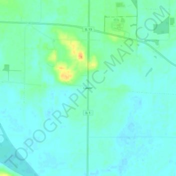
Name: Lawler topographic map, elevation, terrain.
Location: Lawler, Gallatin County, Illinois, 62954, USA (37.70810 -88.30587 37.74810 -88.26587)
Average elevation: 364 ft
Minimum elevation: 341 ft
Maximum elevation: 440 ft