
Borsbeke topographic map
Interactive map
Click on the map to display elevation.
About this map
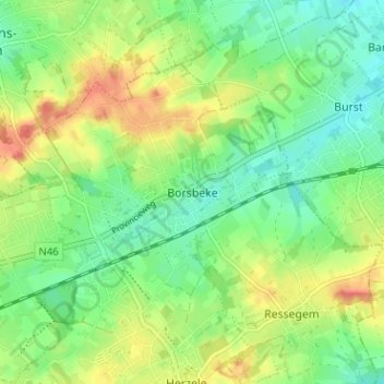
Name: Borsbeke topographic map, elevation, terrain.
Location: Borsbeke, Oost-Vlaanderen, Vlaanderen, 9552, België (50.88472 3.87458 50.92472 3.91458)
Average elevation: 174 ft
Minimum elevation: 98 ft
Maximum elevation: 282 ft