
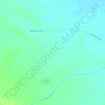
Mount Zeil topographic map
Interactive map
Click on the map to display elevation.
About this map
Name: Mount Zeil topographic map, elevation, terrain.
Location: Mount Zeil, Mbunghara, Northern Territory, Australia (-23.29210 132.35200 -23.27210 132.37200)
Average elevation: 2,024 ft
Minimum elevation: 2,005 ft
Maximum elevation: 2,044 ft