
Toulouse Centre topographic map
Interactive map
Click on the map to display elevation.
About this map
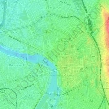
Name: Toulouse Centre topographic map, elevation, terrain.
Average elevation: 482 ft
Minimum elevation: 410 ft
Maximum elevation: 627 ft
Other topographic maps
Click on a map to view its topography, its elevation and its terrain.
Toulouse Est
Toulouse Est, Toulouse, Haute-Garonne, Occitania, Metropolitan France, France
Average elevation: 495 ft