
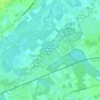
Provinciaal Groendomein Kesselse Heide topographic map
Interactive map
Click on the map to display elevation.
About this map
Name: Provinciaal Groendomein Kesselse Heide topographic map, elevation, terrain.
Average elevation: 20 ft
Minimum elevation: 3 ft
Maximum elevation: 46 ft
Other topographic maps
Click on a map to view its topography, its elevation and its terrain.
Kessel
België > Vlaanderen > Nijlen > Kessel
Kessel, Nijlen, Antwerpen, Vlaanderen, 2560, België
Average elevation: 20 ft