
Al Muhammadiyah topographic map
Interactive map
Click on the map to display elevation.
About this map
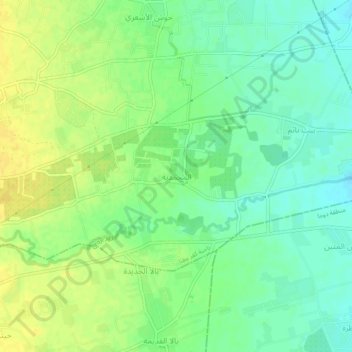
Name: Al Muhammadiyah topographic map, elevation, terrain.
Location: Al Muhammadiyah, Rif Dimashq, Syria (33.48783 36.40365 33.52783 36.44365)
Average elevation: 2,087 ft
Minimum elevation: 2,047 ft
Maximum elevation: 2,126 ft