
McCausland topographic map
Interactive map
Click on the map to display elevation.
About this map
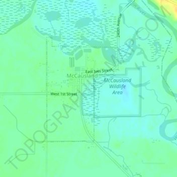
Name: McCausland topographic map, elevation, terrain.
Location: McCausland, Scott County, Iowa, 52758, USA (41.73575 -90.45183 41.75129 -90.43715)
Average elevation: 607 ft
Minimum elevation: 581 ft
Maximum elevation: 659 ft